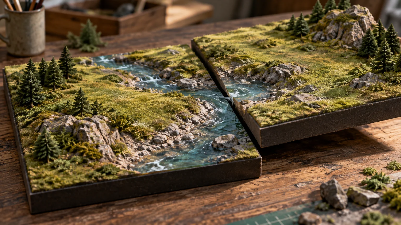
A terrain generator should produce the same world when it is given the same inputs. That sounds simple until tiles load in different orders, neighboring levels of detail disagree, or a new algorithm changes a saved landscape.
The rendering technology matters. The world model matters first.
Define the coordinates
Choose units, origin, axis directions, and the mapping between world position and tile coordinates. Record the seed and generator version.
Sample shared boundaries from the same underlying function. If each tile invents its own edge independently, seams are a design problem rather than a shader problem.
For very large worlds, plan how precision is maintained near the camera without losing the stable identity of distant locations.
Separate semantic intent from surface detail
A map can describe water, roads, buildable areas, vegetation, and landforms before every vertex exists. Those layers express intent.
Use the height field and material system to realize that intent without changing it accidentally. A noise pass should not move an approved road into a lake or make a placement area impassable.
If terrain is inferred from an illustration, label the elevation as inferred. It is not a survey simply because the result looks geographically plausible.
Move suitable work to compute
Parallel height sampling or certain simulation steps can fit a GPU workload. Count the complete pipeline, including buffers, synchronization, and any readback required by collision or gameplay.
Keep a small reference implementation and known samples. Check shared edges and important landmarks numerically, not only through screenshots.
The WebGPU specification defines the available API; it does not make proposed mesh-shader extensions or arbitrary engine features universally available in browsers.
Make tiled updates inspectable
Treat each generated tile as a versioned result: world seed, generator revision, tile coordinates, resolution, border sample policy, and source-data revision. Reject a worker result whose version no longer matches the active world. A valid height array from an earlier seed is still the wrong tile.
For Three.js attribute updates, addUpdateRange() identifies changed components and needsUpdate schedules upload. Component offsets must match the attribute layout; they are not automatically vertex counts. BufferAttribute API.
For a three-component position attribute, a changed run of ten vertices starting at vertex twenty begins at component sixty and spans thirty components. Test this arithmetic with a tiny numbered grid before using partial updates on terrain. If bounds change, refresh the bounds used for culling and queries as well.
Keep a portable compute reference
Chrome 152’s optional subgroup size control offers another compute-tuning path, but it should not define the terrain’s identity. Release notes. Keep a baseline algorithm with explicitly defined inputs and compare its samples with the optimized path.
Use exact comparisons for identifiers and integer decisions, and justified tolerances for floating-point heights. Avoid promising bitwise-identical GPU results across devices unless that property has actually been established. Save representative edge, corner, and landmark samples with each generator version.
My streaming exercise loads four neighboring tiles in several completion orders, changes detail level at the shared corner, evicts them, and reloads from the same seed. Inspect edge continuity, collision alignment, and stable semantic features. This catches a different class of error from a screenshot of the entire landscape.
Treat erosion as a model
An erosion simulation encodes assumptions about water, sediment, time steps, and boundary conditions. Its output can look natural without being a physically validated prediction.
Use it as an artistic or procedural tool unless you have the data and validation needed for a stronger claim.
Document which steps are deterministic and which depend on execution order or floating-point behavior. Reproducibility is something to test.
Design transitions
Levels of detail should meet without cracks or distracting jumps. Vegetation and collision should change coherently with the terrain representation.
Test a camera crossing tile boundaries, moving quickly toward the ground, and returning to a previously unloaded region. A still overview misses most streaming failures.
Bound the cache. A world that appears infinite still runs inside finite memory.
Apply the idea to a configurator
A building preview can benefit from a coherent site context, but it must not turn decorative terrain into evidence about drainage, soil, or access.
Keep measured site facts, inferred context, and visual atmosphere distinct in the data model. The rendering can bring them together while the product continues to explain their different authority.
A good procedural world is stable enough to revisit and clear enough to edit. Beauty is easier to develop on that foundation.
Keep a good idea close.
Follow Signal Tower